Danger on the Tarmac: 34 California Airports Flagged as FAA ‘Hotspots’ for Collision Risks
California’s reputation for bustling commerce and sunny skies is facing a sobering reality check as federal aviation officials sound the alarm on the state’s infrastructure. According to a newly released report from the Federal Aviation Administration (FAA), 34 airports across the Golden State have been designated as “hotspots”—specific locations on runways and taxiways where the risk of collisions and ground incursions is dangerously high.
A Growing Safety Concern
The FAA defines a “runway hotspot” as a location on an airport movement area with a history of or potential risk of collision or runway incursion. These areas often feature complex intersections, confusing taxiway geometry, or high volumes of traffic that require heightened attention from both pilots and ground vehicle operators. For the frequent flier, the details of these vulnerabilities are enough to make even the most seasoned traveler quiver.
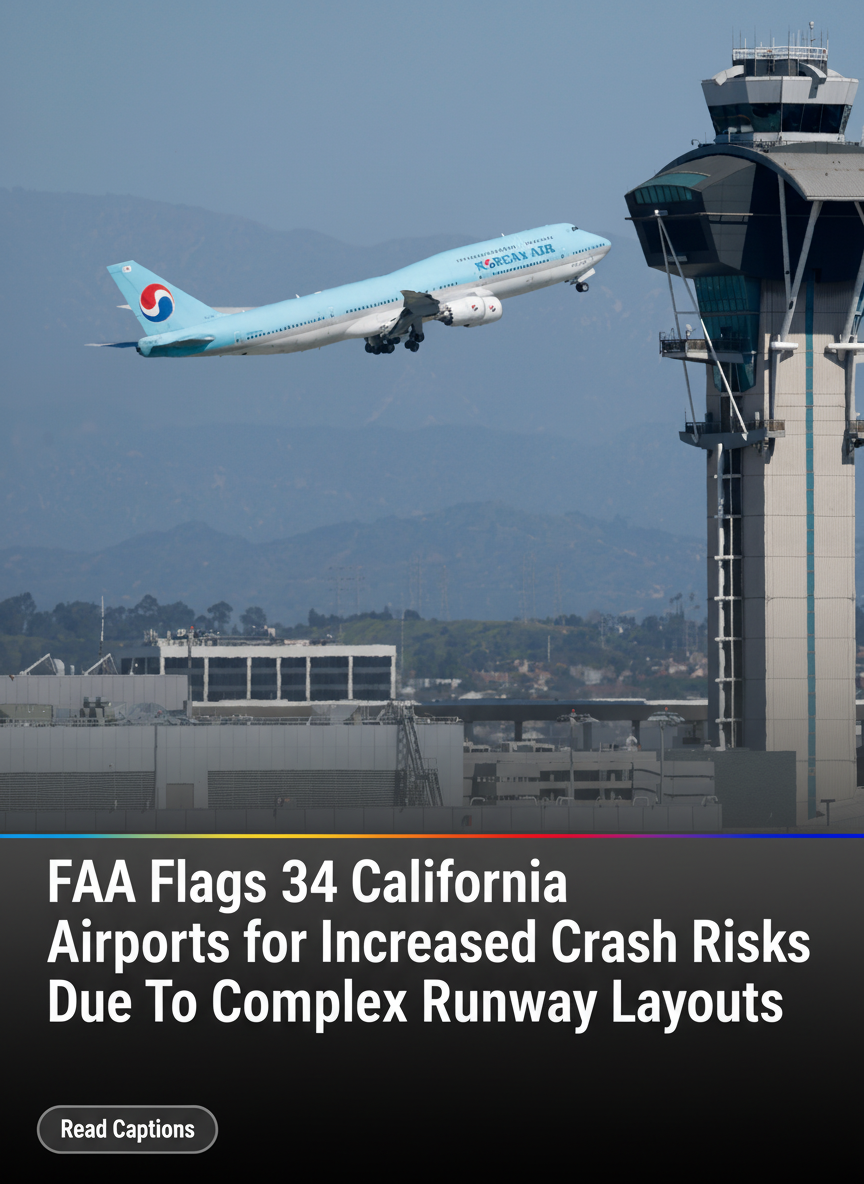
California, home to some of the busiest airspace in the world, leads the nation in these designations. The list includes massive international hubs like Los Angeles International (LAX) and San Francisco International (SFO), as well as smaller regional airports that serve as critical links for private and commercial travel.
Complexity Breeds Risk
The primary driver behind these designations is the sheer complexity of California’s airport layouts. Many of the state’s major airfields were designed decades ago and have since been expanded into intricate mazes of tarmac to accommodate modern traffic levels. This “geometric complexity” can lead to pilot disorientation, particularly during night operations or inclement weather.
“Runway incursions remain one of the most significant risks in aviation today,” says the FAA in its safety literature. A runway incursion occurs whenever an aircraft, vehicle, or person is on the protected area of a surface designated for the landing and take-off of aircraft without authorization. By identifying these 34 locations as hotspots, the FAA aims to provide pilots with a visual “heads-up” on airport diagrams to ensure maximum situational awareness.
The “Quiver” Factor for Travelers
While the FAA maintains that air travel remains the safest mode of transportation, the concentration of risk zones in California is startling. The report suggests that the combination of high-density traffic and “short-field” operations at some regional sites creates a margin for error that is uncomfortably thin. For passengers, the thought of a “near-miss” on the ground is often more harrowing than turbulence in the air, as ground collisions frequently involve high speeds and fully fueled aircraft.
FAA’s Proactive Measures
In response to the rising number of hotspots, the FAA has initiated a “Hot Spot Standardization” program. This initiative seeks to provide a standard set of symbols and descriptions on airport diagrams nationwide, making it easier for pilots to identify and navigate these danger zones regardless of which airport they are utilizing.
Furthermore, several California airports on the list are currently undergoing multi-million dollar infrastructure overhauls. These projects include the realignment of taxiways, the installation of “runway status lights” (RWSL) which automatically warn pilots of conflicting traffic, and improved signage and painting to reduce confusion.
Looking Ahead
The designation of 34 California airports as hotspots is a double-edged sword. While it highlights the inherent dangers of the state’s aging and crowded aviation infrastructure, it also represents a commitment to transparency and safety. By acknowledging where the risks lie, the FAA and airport authorities can prioritize funding and training to prevent a tragedy before it occurs.
As the travel industry continues to see record-breaking numbers of passengers, the focus on ground safety in the Golden State will remain a top priority for federal regulators and the flying public alike.